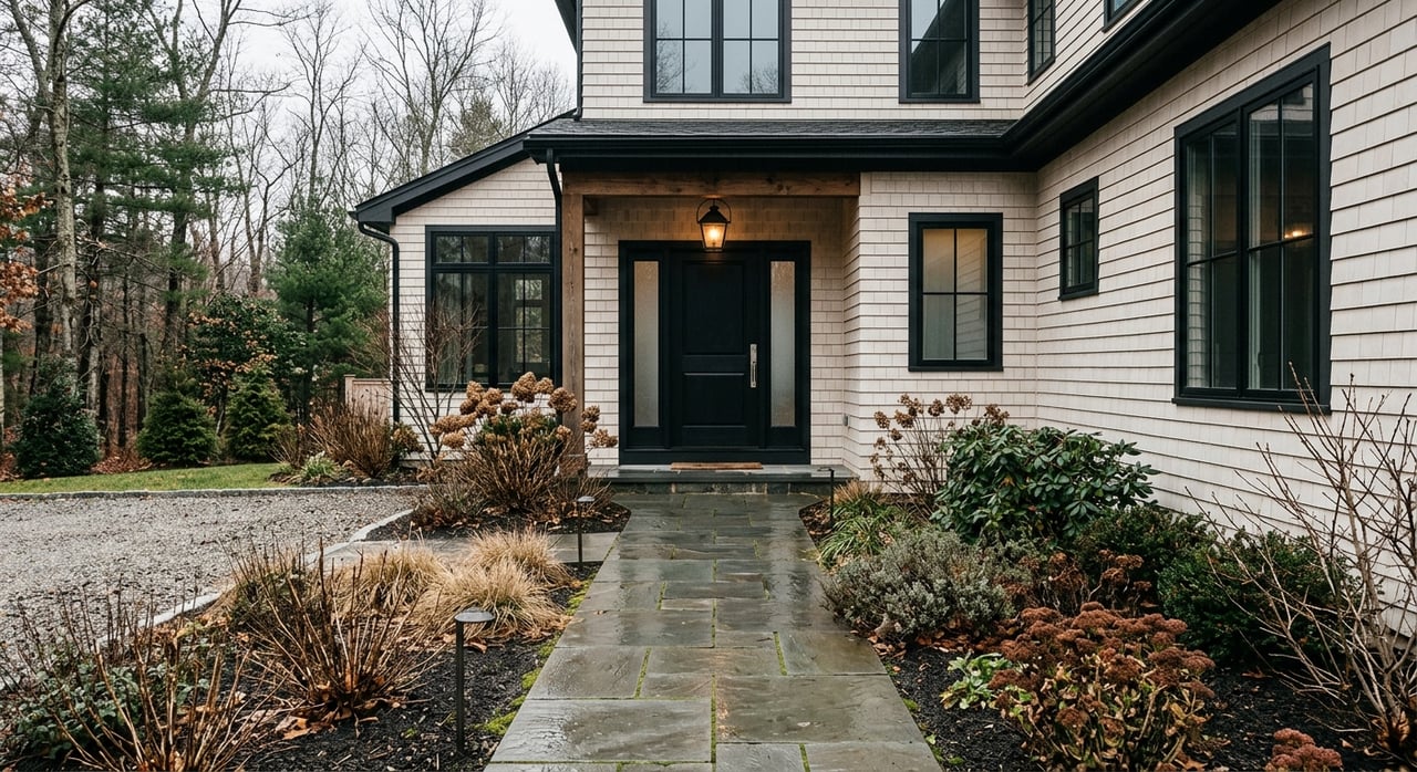
Thinking about buying land in Arundel’s 04046? The right lot can unlock your custom build, a small subdivision, or a smart Route 1 business site. But in Arundel, small details like zoning, septic capacity, and shoreland buffers decide if a parcel is truly buildable. This guide walks you through the key local rules, what to check first, and a step-by-step path to a confident offer. Let’s dive in.
What you can build in Arundel
Arundel uses several land use districts, including Urban R-1, Suburban R-2, Rural R-3, Rural Conservation R-4, Downtown/Business districts, and Business/Industrial. Each district has specific uses, minimum lot sizes, frontage, and setback rules. Start with the official Arundel Land Use Ordinance to see what is allowed on a given lot.
Your goals might include a single-family home, a duplex or ADU, a small cluster subdivision, or commercial infill along Route 1. In Arundel, density often depends on infrastructure. Where public water or sewer is available, minimum lot sizes can be smaller than areas without utilities. This makes utility availability one of the first facts to confirm.
Zoning basics to confirm first
Before you fall in love with a parcel, confirm four things:
- District and overlays. Identify the parcel’s land use district and any shoreland, floodplain, stream protection, or resource protection overlays. If a lot straddles two districts, different rules can apply.
- Dimensional standards. Minimum lot size, frontage, and setbacks depend on district and utility access. The ordinance sets different thresholds for lots with public water or sewer versus lots without them.
- Legal street access. A building lot must have legal frontage that meets the ordinance. Lots accessed only by a right-of-way must satisfy specific standards. A 30-foot width rule applies in some pre-existing rights-of-way, so do not assume a narrow lane grants full building rights.
- Ask the Town. If anything is unclear, contact the Town Planner and Land Use Office for written guidance on permitted uses and required reviews. The town maintains current contacts and forms on the Planning and Land Use page.
Septic and water: the make-or-break items
Soils and septic
Most of Arundel uses on-site subsurface wastewater systems. Maine’s Subsurface Wastewater Disposal Rules govern siting, design, reserve area, and permits. Review the state’s guidance and confirm any existing permits and designs through official records. Start here to understand requirements: Maine subsurface wastewater rules.
Do not assume an existing septic is adequate. Order a site-specific soil evaluation from a licensed site evaluator and verify both the primary system and the required reserve area. General soils maps are only a screening tool. Your offer should reflect septic feasibility and any needed upgrades.
Wells and public water
If a lot does not have public water, you will need a private well and a water-quality and yield test. Where public water is available, density rules may allow smaller lots. Service availability is address-specific, so confirm with the Kennebunk, Kennebunkport & Wells Water District. Start with KKW’s site to request availability and connection details.
Sewer reality in Arundel
Public sewer is not broadly available town-wide. The town’s long-term planning has focused sewer discussions on specific corridors and regional tie-ins, not general residential service. If you believe a parcel could connect to a neighboring district, validate that directly with the town and districts. For context, see the town’s Comprehensive Plan materials.
Natural constraints to map early
Shoreland, wetlands, and NRPA
Arundel applies a Shoreland Overlay and resource protection rules to certain waters and wetlands. Standard buffers include 75 feet along streams and up to 250 feet around some ponds and coastal areas. Many activities in these zones require town shoreland permits, and DEP permits under the Natural Resources Protection Act may also apply. Use the town ordinance you reviewed earlier to confirm setbacks before you plan clearing or a foundation location.
Floodplain and stormwater
Check FEMA’s Flood Insurance Rate Maps to see if a parcel sits in a Special Flood Hazard Area. Floodplain development brings elevation, engineering, and insurance considerations. You can access the FEMA Map Service Center through this FEMA MSC portal resource.
Topography and access
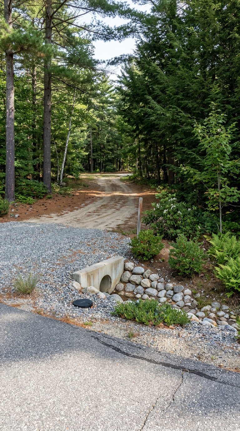
Steep slopes, shallow bedrock, and ledge can constrain septic and foundations. Arundel’s rules require contours on site plans and erosion controls during construction. If the expected buildable area looks tight, plan for a professional survey and soils work early. For access, new driveways and openings must meet town standards, and some roads have added rules.
Access and utilities checklist
Use this quick list to define costs and timelines before you commit:
- Road frontage and driveway. Confirm legal frontage and whether a Road Opening Permit is required for new access. The town’s building permit packet includes this requirement and CEO contact details. Review the Building Permit application.
- Public water. Ask KKW about main location, pressure, and connection fees. If a main extension is needed, get a written estimate.
- Sewer. Assume on-site septic unless the town and a sewer district confirm a feasible tie-in.
- Electric. Confirm which utility serves the street and whether line extensions or a new transformer are required. Underground versus overhead service can change costs.
- Broadband. Check availability of cable or fiber. If not available, explore satellite or 5G home internet as an interim solution.
Planning, subdivision, and permits
If you plan to create lots or build multifamily or commercial space, expect Planning Board review. Arundel’s Subdivision Regulations outline pre-application, sketch, preliminary, and final plan stages, with performance guarantees and inspections for certain projects. Read the Subdivision Regulations so you understand timing, required plans, and engineering.
Many non-single-family uses require Site Plan Review or a Conditional Use permit under the Land Use Ordinance. Coordinate town approvals with any needed state permits. For single-family homes, the Code Enforcement Officer is your first stop for building permits, driveway approvals, and construction inspections.
Step-by-step due diligence for Arundel land
Follow this sequence to reduce risk and keep your timeline predictable:
- Identify the parcel. Get the tax map and lot and the recorded deed. Use the town’s GIS and tax map portal for a quick lookup.
- Confirm zoning. Note the land use district and any shoreland, floodplain, or resource overlays. If the lot crosses districts, list the stricter standards first.
- Talk to Town Planner/CEO. Request a brief pre-application review, permitted uses, and any known history or code cases. Ask whether public utilities are reasonably extendable to the address.
- Verify septic feasibility. Order a soil test and HHE-200 from a licensed site evaluator. Pull state septic permit and design records and plan a reserve area from day one.
- Check water. If no public water, plan for a drilled well and testing. If public water is possible, request service availability, pressure, and cost from KKW.
- Screen wetlands and shoreland. Map the 75-foot stream buffer and any 250-foot pond or coastal buffers. If wetlands are likely, schedule a delineation and confirm whether any NRPA permits are triggered.
- Check the flood map. If within a mapped flood zone, budget for elevation certificates, engineering, and flood insurance.
- Order a boundary survey. Show true frontage, lot lines, any rights-of-way, and building setback lines. Confirm any access or utility easements in writing.
- Plan the review path. For lot creation or multifamily/commercial uses, schedule a Planning Board pre-application and allow time for peer review and engineering.
- Price utilities and access. Get written estimates for water, electric service, and any road or driveway work. Call 811 before any ground work.
How Arundel differs from nearby towns
Arundel’s Route 1 corridor concentrates much of the town’s commercial zoning and activity. Some areas have soils with shallow bedrock or higher water tables, which can limit septic options and drive interest in utility extensions. Neighboring towns may have broader sewer coverage in certain districts, which is why Arundel’s ordinance changes density when public water or sewer are present. The bottom line: utility availability and soils often set the pace in Arundel.
Your next move
If you want a buildable, budget-sound lot in Arundel, lead with zoning and soils, then confirm utilities and environmental constraints. Engage the town early for clarity and keep your engineering partners close on septic and site plan details. When you are ready to evaluate a specific parcel or craft a land offer with the right contingencies, reach out for local guidance that aligns with your goals. Connect with Adam Parent to review a lot, run due diligence, and move forward with confidence.
FAQs
What makes a lot buildable in Arundel?
- A buildable lot meets district rules for use, size, frontage, and setbacks, has legal street access, passes soils and septic feasibility, and complies with any shoreland, floodplain, or resource overlays.
How do septic rules affect my Arundel land purchase?
- Most lots use on-site septic, so you should confirm soil suitability, system sizing, and a reserve area with a licensed site evaluator and verify state septic records before you commit.
Does public water change minimum lot size in Arundel?
- Yes. The ordinance allows smaller minimum lots where public water or sewer is available, so confirming utility availability with KKW can directly affect density and design.
Where can I check flood risk for an Arundel parcel?
- Use FEMA’s Flood Insurance Rate Maps to see if a lot lies in a Special Flood Hazard Area, then factor elevation, insurance, and construction requirements into your plan.
What permits do I need to create new lots in Arundel?
- Lot creation typically requires Planning Board review under the Subdivision Regulations, along with engineering for soils, septic, stormwater, and access; coordinate town approvals with any state permits.